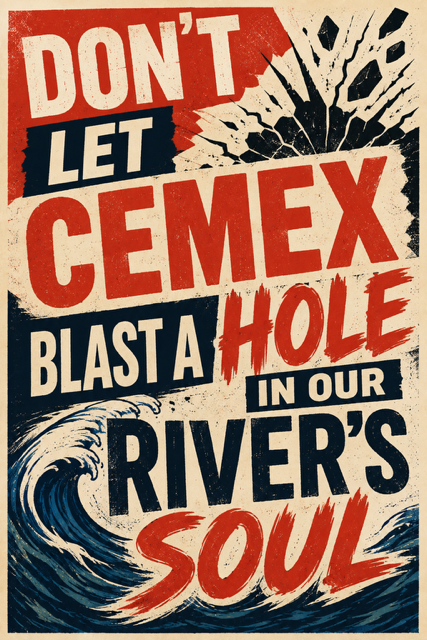
What’s happening?
CEMEX has appealed the Planning Commission’s technical denial. The Fresno County Board of Supervisors will now decide whether to approve the project.
The Board will hold a public hearing on November 12, 2026, at 9:30 am. Meeting materials will be posted HERE within 72 hours of the meeting date.
Join an upcoming Community Information meeting to learn more about how to make your voice heard. Meetings will be held at the River Center Barn.
Click the links below.
November 4, 2026 at 5:30 pm
November 6, 2026 at 10:00 am
CEMEX WANTS TO CHANGE THEIR CURRENT MINE FROM ALLUVIAL (MECHANICAL) TO HARD ROCK
This means drilling holes in the rock and blasting them apart with explosives, rather than digging sand and gravel with equipment. Read on for more information.
WHAT DOES CEMEX WANT TO DO?
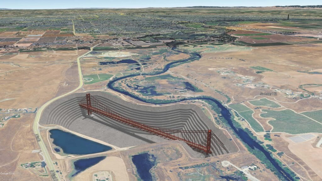
CEMEX has been mining at two sites along the river for many years. They propose a change to hard rock drilling and blasting, and mining to a depth of 600 feet below ground surface (BGS).
- Aggregate production will increase from 1.4 million tons per year currently permitted, to 3 million tons per year within 10 years
- Truck traffic on Friant Road will DOUBLE.
- The new permit will last for 100 years.
THE RIVER PAYS THE PRICE.
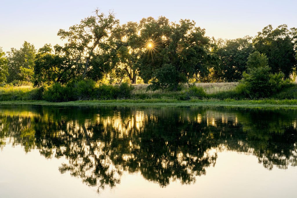
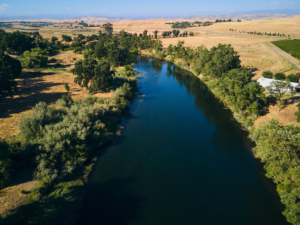
The San Joaquin River is more than just water. It is a living system connecting people and wildlife. The river has been mined, dammed, and diverted for more than 100 years. Hasn’t it given enough?
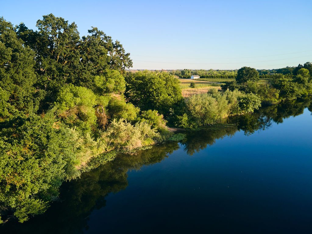
A River Corridor at Risk
Blasting and excavation beside a fragile ecosystem.
Habitat Under Pressure
Wildlife depends on this increasingly rare riparian landscape.
Dust, Noise and Truck Traffic
Industrial consequences don’t stop at the mine boundary.
A hole that outlives us
This project could reshape the landscape for generations.
Why are people worried?
| A CENTURY OF RISK FOR THE RIVER | WILDLIFE HABITAT |
| Blasting a 600-foot deep mine could alter groundwater flows and mobilize arsenic, lead, iron and manganese ino groundwater and the river. The proposed on-site Hot Mix Asphalt (HMA) plant could lead to respiratory illness and cancer from volatile organic compounds (VOCs), particulate matter (PM), benzene and formaldehyde. | The mine borders critical spawning habitat for Chinook salmon, in addition to habitat for bald eagles, Swainson’s hawks, burrowing owls and other protected species. Blasting, vibration and disrupted water flows could displace wildlife, destroy habitat and injure animals. |
| 17-HOUR DAYS OF DUST, NOISE AND EXPLOSIONS | TURNING A RIVER PARKWAY INTO AN INDUSTRIAL “DEAD ZONE” |
| Trucking could run from 4am to 9pm, with mining and processing 13 hours a day. The Environmental Impact Report (EIR) predicts significant, unavoidable traffic congestion and damage to area roads. | This gigantic man-made crater would border Lost Lake and one of the Valley’s most treasured recreation corridors. Families, campers, hikers and children enjoying the river could spend generations beside a massive industrial mine. |
FRESNO DOESN’T NEED TO TRADE ITS RIVER FOR GRAVEL
The Fresno/Madera region already has more permitted aggregate sources than it can use over the next 50 years – 230% more, according to the 2026 California Geological Survey report on Aggregate Sustainability in California. Check the facts! Click the buttons below to download the map and report.
Now is the time that you can make a difference. Click the button on the right to download the Citizen Action Toolkit.
CEMEX GETS THE PROFITS.
FRESNO GETS THE HOLE.
THE DECISION STARTS WITH NINE.
IT COULD END WITH FIVE.
FINAL EIR RELEASED
County publishes the environmental analysis
9-MEMBER PLANNING COMMISSION
Holds a public hearing and says Yes or No to the project.
POTENTIAL APPEAL
Proponents or Opponents file an appeal with the County
5 COUNTY SUPERVISORS
Will conduct the final hearing and make the ultimate decision.
BEFORE THEY DECIDE, MAKE SURE THEY HEAR FROM YOU.
Find your supervisor at this link, or use the information below to contact the Clerk to the board.

Call the Fresno County Supervisors
(559) 600-3529 (Option 4)



Address
2281 Tulare St., Room 301, Fresno, CA 93721